 Tạp chí

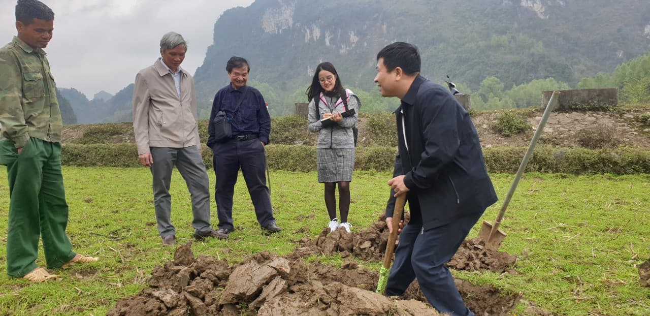
Hoàng Việt An (trang 93-96, 102)
Từ khoá: ứng dụng, ảnh viễn thám, ảnh viễn thám siêu đa phổ, theo dõi, sa mạc hoá, Tabernas, Tây Ban Nha
Summary
Hyperspectral remote sensing and its application for desertification monitoring-case study in Tabermas, Spain
Hyperspectral remote sensing is a promising data source to overcome problem that conventional image with a few spectral bands may over smooth the reflectance characteristics of the surface. General introduction of hyperspectral remote sensing, its principle, characteristics, typical sensor, and application has been presented. Case study on desertification monitoring in Tabermas, Spain. The accuracy of desertification feature map was 71%.