 Tạp chí

Trần Văn Điền1, Hoàng Văn Hùng1, Trịnh Hữu Liên1
1 Trường Đại học Nông lâm Thái Nguyên.
Từ khóa: xây dựng, cơ sở dữ liệu, quản lý, sử dụng đất, đất dốc, công nghệ viễn thám, GIS, viễn thám, Nam Cường, Chợ Đồn, Bắc Kạn
Building database on management sustainable sloping land use slopes with the support of gis and remote sensing technology testing in Nam Cuong commune – Cho Don district – Bac Kan province
Tran Van Dien, Hoang Van Hung, Trinh Huu Lien
SUMMARY
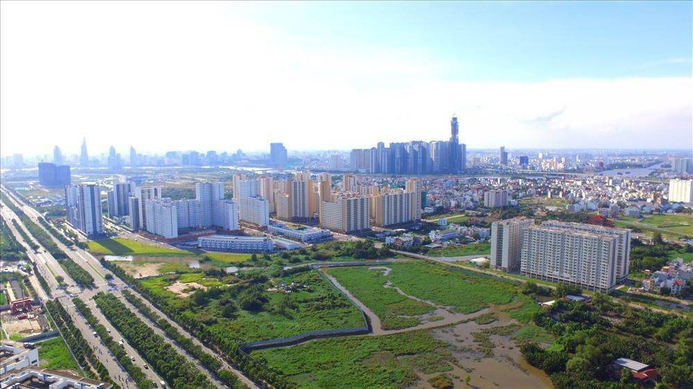
Nam Cuong commune is a upland area in the north of Cho Don District, about 34km far from the centre, the terrain of Nam Cuong is quite complex, hills and mountains occupy the main area. The average altitude is from 240m to 700m; slope range is 250 to 380; most of the surface cover is mixed forest. The above reasons caused a lot of difficulties in determining types of land use and compiling map as well. This requires a new method which is easy to implement, saving money and time, and also high applicability. GIS and RS technology, by their own outstanding characteristics, gave us the ability to widely use in term of managing natural resources and environment. The fact has pointed out that GIS and RS are highly applicable solutions in compiling land use map using when it’s implemented in Nam Cuong commune. It can be listed some prominent results: Define more quickly and more exactly some types of land use by analyzing satellite images compared to the traditional methods, compiling land use map. These research results one more time affirm the outstanding characteristics of modern methods in compilinh maps (GIS – RS) which the traditional methods do not have. It shows that using GIS and RS in defining some types of land use is convenient, saving money and it also support efficiently for managing and using land.
Keywords: Nam Cuong, types of land using, GIS and RS technology, satellite pictures, analyzing