 Tạp chí

Phạm Quang Khánh (trang 75-83)
Từ khoá: điều tra, đánh giá, quy hoạch, sử dụng đất, Cà Mau, 2000
Summary
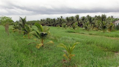
Soil survey, land evaluation and land use planning in Ca Mau province 1998-2010
In the soil map scale of 1/100.000, there are 4 soil groups and 23 soil mapping units; 35 land mapping units (LMU). 29 LMU suitable for rice and melaleuca, 6 LMU suitable for mangrove and aquaculture. Results of land use planning up to 2010: 61% for agriculture and. 25% for forest land, 4,6% for special land, 1.8% for residential land, 3% for waste land, 3% of rivers.